Hydrological Modelling of Alberta – North Saskatchewan River Basin
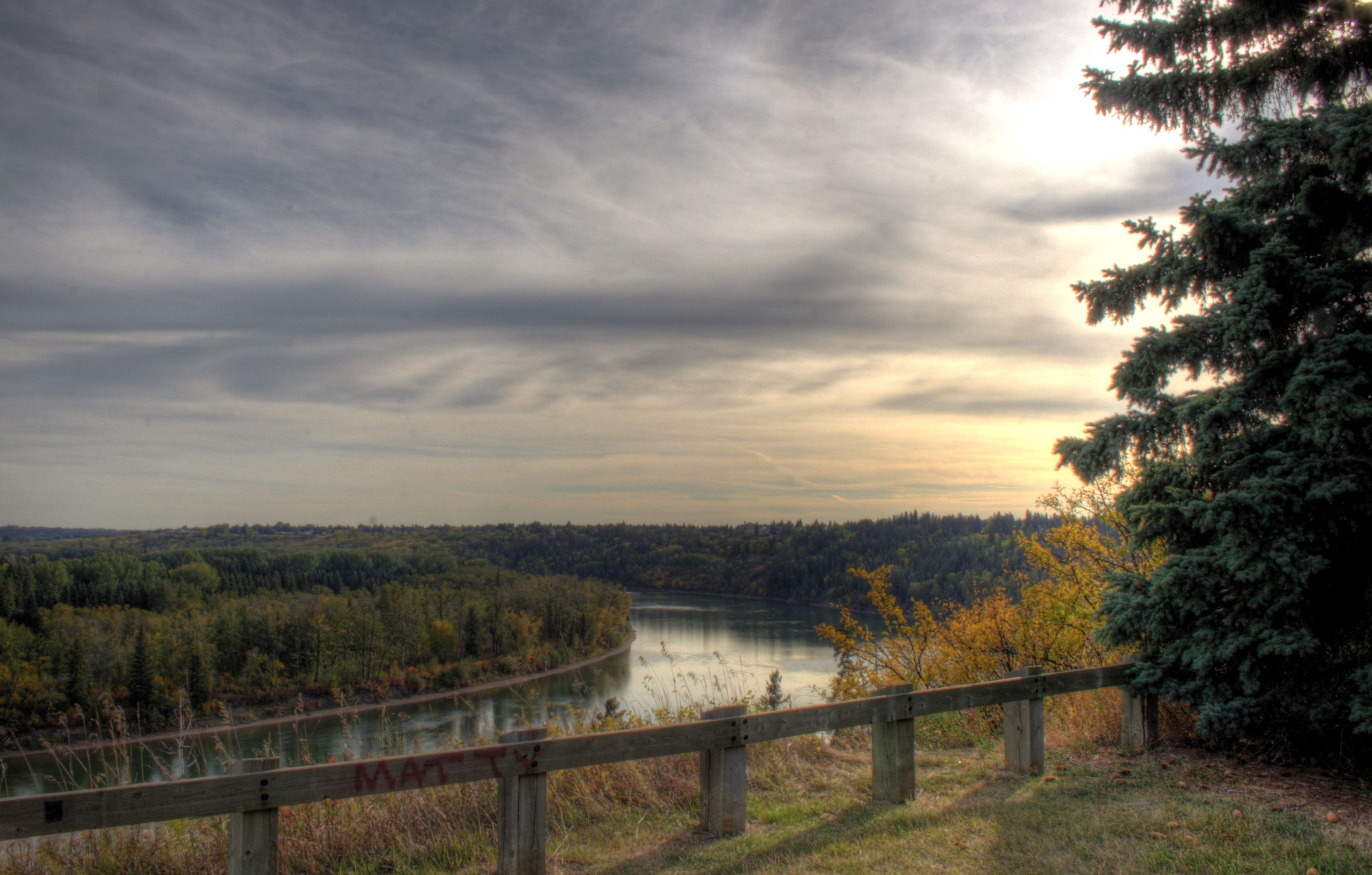
Covers about 80,000 km2 of the province.The basin begins in the ice fields of Banff and Jasper National Parks and generally flows in an eastward direction to the Alberta-Saskatchewan border. The North Saskatchewan River Basin is part of the larger Nelson River system, which eventually drains into Hudson Bay.
The Battle River also forms part of the North Saskatchewan Basin and joins with the North Saskatchewan River in Saskatchewan. The Brazeau, Nordegg, Ram, Clearwater, Sturgeon and Vermilion rivers flow into the North Saskatchewan River within Alberta.
There are two large dams located in the basin. The Big Horn Dam on the North Saskatchewan River creates Lake Abraham. The Brazeau Reservoir is created by the Brazeau Dam, located on the Brazeau River.
The North Saskatchewan Basin is about 55,000 km2 in areas and occupies approximately 9% of Alberta by area. The mean annual natural river discharge of the North Saskatchewan River is 7,277,000 dam3.
In 2001, the Basin had a population of 1,047,017 people, which represents 35% of the provincial population, with a population density of 41 people per square kilometer. The North Saskatchewan Basin River consists of all or parts of 68 urban municipalities, 25 rural or regional municipalities and twelve Aboriginal settlements. Major centres within the basin include Drayton Valley, Edmonton, Fort Saskatchewan and the Saddle Lake Indian Reserve.
An overview of surface and groundwater allocations shows that the industrial sector accounts for 82% of total allocations or 1,663,566 dam3 in 2005. The municipal and petroleum sectors account for most of the remaining allocations, totaling 164,401 dam3 (8%) and 90,353 dam3 (5%), respectively. Total allocations in the Basin in 2005 were 1,996,927 dam3.