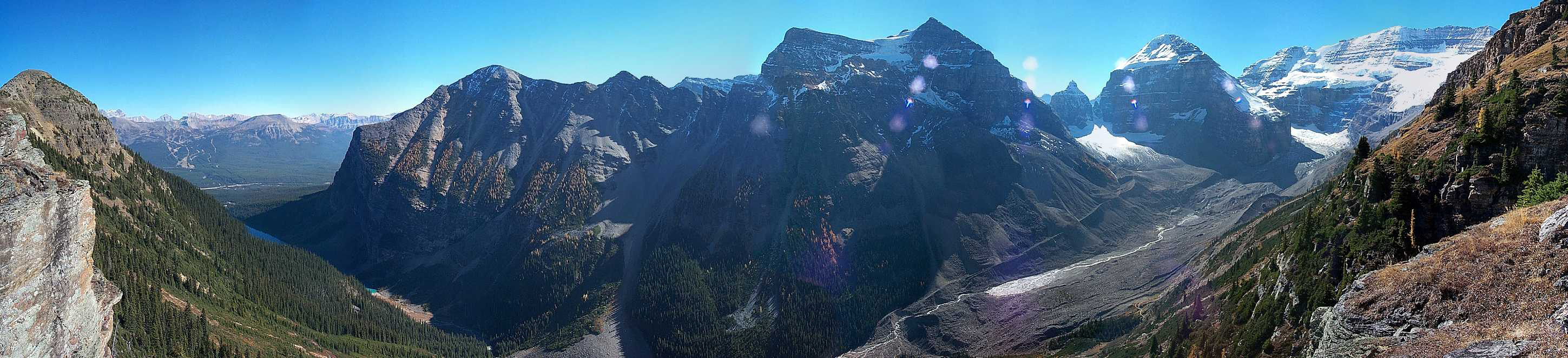
Classification and Types of Glaciers
The most common method for estimating glacier volume from glacier area is to use empirical scaling relationships based on available ice-thickness (volume) data. Bahr et al. (1997) have also conducted theoretical analyses to support these empirical models, but the volume-area relationship is intrinsically related to the type of glacier. We therefore made an effort to classify the glacier inventories by type: cirque glaciers, hanging glaciers, valley glaciers, or icefields.
We explored this based on historical EMR maps of the Nelson River basin, making the assumption that the distribution of ice masses in this basin is representative of Alberta’s glaciers. Using Google Earth™, we compared perennial snow and ice from the EMR maps to modern (2002 onward) satellite imagery. To create a catalog, the location of perennial snow and ice on the EMR maps is found on the satellite images. The location is recorded and then classified into glacier or snow if easily visible. If the feature is classified as a glacier, it is then further classified into type of glacier (cirque, valley, hanging, or icefield).
This classification scheme is a simplified version of the GLIMS glacier classification scheme given in Rau et al (2005). In locations with high-resolution, late summer/early fall satellite images, classifications were straightforward and were based on the presences of visible ice features such as crevasses and bergschrunds. In other locations, winter scenes or low-resolution images make it difficult to clearly discriminate between snow and ice, and to distinguish the glacier type.
All identified perennial snow and ice bodies from EMR map sheets were classified for this analysis. This area includes the Old Man River, Red Deer River and Bow River catchments. Due to difficulties with low resolution satellite images, not every location on the EMR maps can be definitively classified into “snow”, “glacier”, or “deglaciated”. In total there are 662 snow and ice features on the three EMR maps. Of the 662 points, 403 reside within regions with high-resolution satellite imagery, but only 151 glaciers could be clearly identified and categorized (see table below). Within the areas with high-resolution imagery, 41 (~10%) of the original snow/ice patches are no longer present.
| Type of Glacier | Number of Glaciers | % Total Glaciers |
| Valley glaciers | 56 | 37.1% |
| Cirque glaciers | 49 | 32.5% |
| Hanging glaciers | 36 | 23.8% |
| Icefields | 10 | 6.6% |
| Deglaciated | 41 | – |
The volume-area scaling method used to approximate glacier volume was developed for valley glaciers and icefields. It is not known whether these relationships work well for cirque and hanging glaciers. However, for the scope of this project, a first assessment of volume will be made through the valley-glacier and icefield scaling relationships, treating cirque and hanging glaciers as valley glaciers. There is little basis to choose otherwise at this time, but future work should address the suitability of the valley glacier relationship to different glacier morphologies.These results underscore the numerical significance of different types of glaciers. Each of these glacier types is expected to contribute significantly to the total glacier area in the Rockies. This is consistent with other regions. For example, cirque, valley, and hanging glaciers make up 42%, 30%, and 17% of the total glacier area in the Nan-Shan Mountains of southern China.
Download
Alberta Glacier Inventory and Ice Volume Estimation (3.49 MB)