Hydrological Modelling of Alberta – Beaver River Basin
The Beaver River is one of the smaller basins within the province with a catchment area of about 14,500 km2. The basin and river extend east, across the provinces of Saskatchewan and Manitoba, emptying into Hudson’s Bay. It is the only basin in Alberta that is part of the Churchill River system.
The Beaver River begins at Beaver Lake, and then flows through urban centres of Bonnyville, Cold Lake and Grand Centre.
The Beaver River Basin is about 16,000 km2 in area and occupies 3% of Alberta. The mean annual natural river discharge of the Beaver River is 613,000 dam3 at the Saskatchewan border.
In 2001, the basin had a population of 38,300 people, or 1.3% of the provincial population. The basin had a population density of 2.4 people per square kilometre. The Beaver River Basin consists of all or parts of eight rural or regional municipalities, and includes seven urban centres and four First Nations. There are also four Métis settlements in the Beaver River Basin.
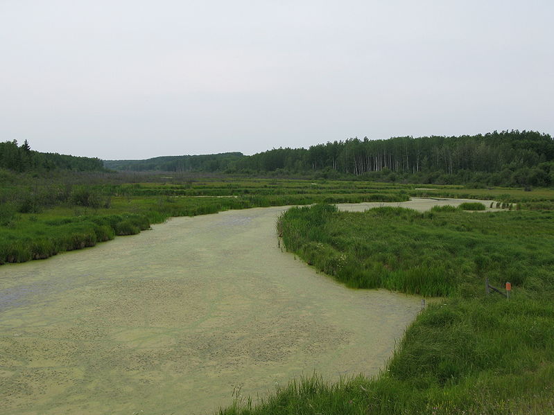
The Cold Lake Area Weapons Range comprises the majority of the northern part of the basin. The basin is characterized by many meandering streams and rivers which drain such lakes as Cold, Moose, Muriel, Ethel and Wolf Lake.
An overview of current surface and groundwater allocations shows that in 2005 the sector petroleum accounts for 44% of total allocations or 21,112 dam3. Allocations for the other and municipal sectors each account for about 25%; licences for the other sector to withdraw up to 12,114 dam3 and the municipal sector to withdraw up to 11,708 dam3. Total allocations in the basin in 2005 were 47,718 dam3.