PUBLISHED: 10 June 2014 Last Edited: 10 June 2014
Before and After Photos: Alberta Flood Mitigation as of June 9th, 2014
The Government of Alberta has released some aerial view photos of a selection of the flood mitigation work that has been done over the past year. It seems Google Maps hasn’t updated Southern Alberta since the flood last year, so below are before pictures provided by Google Maps and after shots provided by the Government of Alberta.
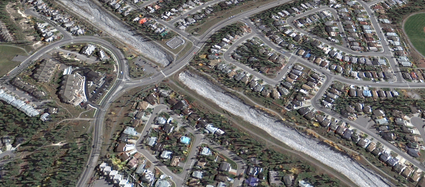
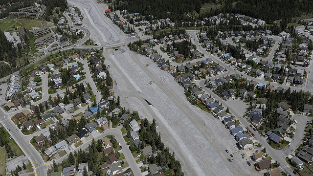
Canmore – Cougar Creek
Before June 2013:
|
|
| Cougar Creek in Canmore as viewed from Google Maps. |
June 9th 2014:
|
|
| “Flood recovery: Cougar Creek in Canmore” by Government of Alberta is licenced under CC BY 2.0 |
High River
Before June 2013:
 |
| Highwood River in High River as viewed from Google Maps. |
June 9th 2014:
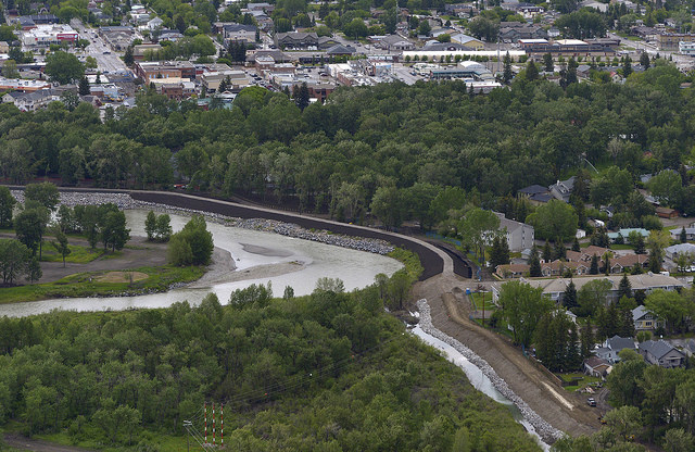 |
| “Flood recovery: Berm construction in High River” by Government of Alberta is licenced under CC BY 2.0. |
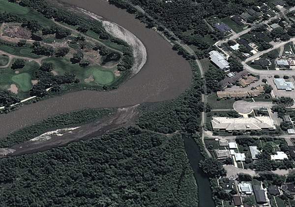
Calgary – Stampede Grounds
Before June 2013:
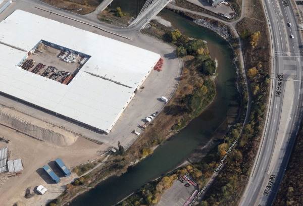 |
| Calgary Stampede Grounds on the Elbow River as viewed from Google Maps. |
June 9th 2014:
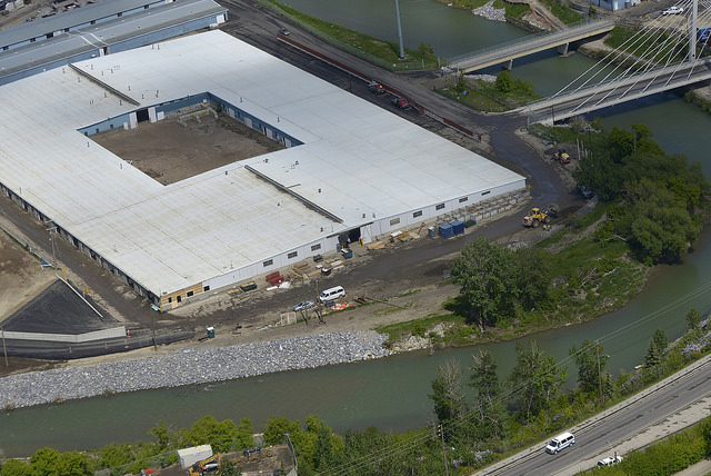 |
| “Flood recovery: Shoring the river bank at the Stampede grounds in Calgary” by Government of Alberta is licenced under CC BY 2.0. |
Siksika Nation
Before June 2013:
The Google Maps images of this area have been updated since June 2013, however we’ve been given permission to use a picture of the bridge in question from Dr. Andrea Kirkwood.
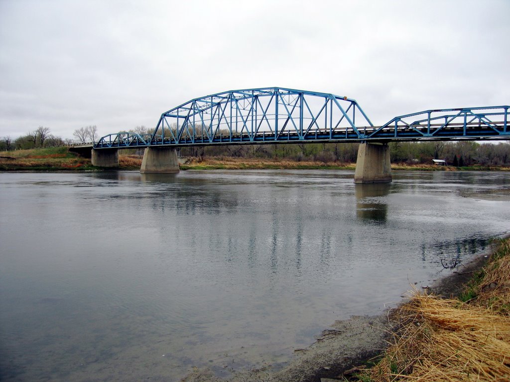 |
| “Bow Site 14” by Dr. Andrea Kirkwood with permission for use. |
June 9th 2014:
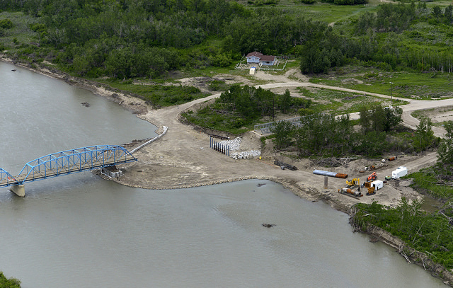 |
| “Flood recovery: Bridge construction at Siksika” by Government of Alberta is licenced under CC BY 2.0. |