Glacier Mass Balance
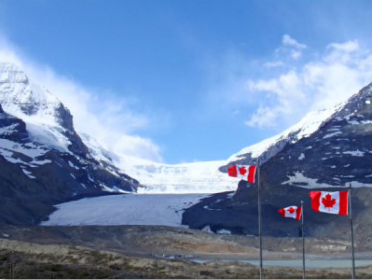
Glacier mass balance refers to the change in mass of a glacier over a specific time frame, typically one year. Glaciers of the Rockies typically accumulate snow from mid‐September through mid‐May (the ‘accumulation season’) and experience melting and runoff from mid‐ May through mid‐September (the ‘melt season’).
The ‘glaciological year’ runs from the start of the accumulation season to the end of the subsequent melt season. Net accumulation minus net ablation of snow and ice over this period determines the annual gain or loss of ice from the glacier. This can be expressed as a:
- Total balance (kilograms per year, or cubic meters per year water‐equivalent (w.e.) for the entire glacier
- Specific balance, per unit‐area of the glacier (kilograms per square meter per year, or meters of water-equivalent (w.e.) per year)
The latter is most commonly employed, as it is most intuitive. For example, a specific mass balance of 1 meter w.e. per year indicates an average glacier‐wide thinning of 1 meter w.e. for the glaciological year (about 1.1 m of ice). A mass balance of 0 indicates a state of balance (glacier‐averaged accumulation equal to melt).
Mass balance can be estimated through remote sensing techniques such as repeat airborne or satellite laser altimetry, which can measure changes in surface elevation. This is difficult to relate to mass changes over snow cover, as snow density is unknown. Repeat altimetry studies have not been done in the Rockies, as LIDAR systems and flight time are costly.
Pilot studies on the Peyto and Opabin Glaciers indicate that this is a promising technique for constructing detailed and accurate surface topography, but airborne laser profiling is not yet being conducted operationally for mass balance studies. Available data therefore comes from a small number of field studies carried out by government organizations and university researchers. Field techniques involve late‐spring snow surveys to quantify winter accumulation along with networks of ablation stakes to measure summer melt.
The Peyto Glacier has the longest‐running mass balance record in the Rockies, 1966 to present. Limited amounts of data are also available from Ram, Haig, and Kwadacha Glaciers. We discuss these mass balance records further in Section 5 of the report.
Download
Alberta Glacier Inventory and Ice Volume Estimation (3.49 MB)