Hydrological Modelling of Alberta – Athabasca River Basin
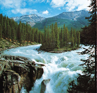
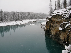
The Athabasca River originates in the Rocky Mountains of Alberta. The river flows northeast through the province, past the urban centers of Jasper, Hinton, Whitecourt, Athabasca and Fort McMurray prior to emptying into Lake Athabasca. The Athabasca River is part of the Mackenzie River system, which drains eventually into the Arctic Ocean.
At Jasper, Athabasca and Fort McMurray the mean annual discharge is 2,790 million m3, 13,600 million m3 and 20,860 million m3, respectively. The drainage areas at Jasper, Athabasca and Fort McMurray are 3,880 km2, and 74,600 km2, and 133,000 km2 respectively. The Athabasca River Basin includes the McLeod, Pembina and Clearwater rivers.
The Athabasca Basin is about 140,000 km2 in area and occupies approximately 23% of Alberta. The mean annual natural river discharge of the Athabasca River is 24,000,000 dam3.

In 2001, the basin had a population of 154,097 people, or 5% of the provincial population. The population density of the basins was just over one person per square kilometre. The Athabasca River Basin includes all or parts of 22 rural or regional municipalities and includes of 2d3 urban municipalities and 14 Aboriginal settlements.
An overview of current surface and groundwater allocations shows that in 2005 the petroleum sector accounted for 68% of allocations (581,792 dam3) and the industrial sector accounts for another 17% of total allocations (145,368 dam3). The other and municipal sectors accounted for most of the remaining allocations, accounting for 59,988 dam3 (7%) and 46,097 dam3 (5%), respectively. Total allocations in the basin in 2005 were 849,639 dam3.

