Glacier Summary and Recommendations
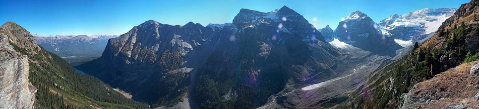
The focus of this study is to make an accurate estimate of ice volume given current knowledge of glaciers in the Rockies. We estimate this to be 55 (± 15) km3 for all of the glaciers in the eastern slopes, with 47 (± 15) km3 in Alberta and the remainder in the eastward-draining ice masses of the Peace River Basin in B.C. More than 75% of Alberta’s ice is contained in the headwaters of the North Saskatchewan and Athabasca Rivers, where the largest icefields are clustered.
The lack of glacier thickness (volume) data in the Canadian Rockies is very limiting. Without this data volume estimates have a high degree of error and models of ice dynamics cannot be expected to give realistic, detailed predictions of glacier response to ongoing climate change.
Ice thickness measurements through surface and airborne ice radar studies would be extremely valuable to improve on these uncertainties. Ice thickness studies across a suite of glacier size classes and glacier types are recommended. In particular, volume-area scaling relationships should be developed and tested for cirque glaciers and plateau icefields in the Rockies.
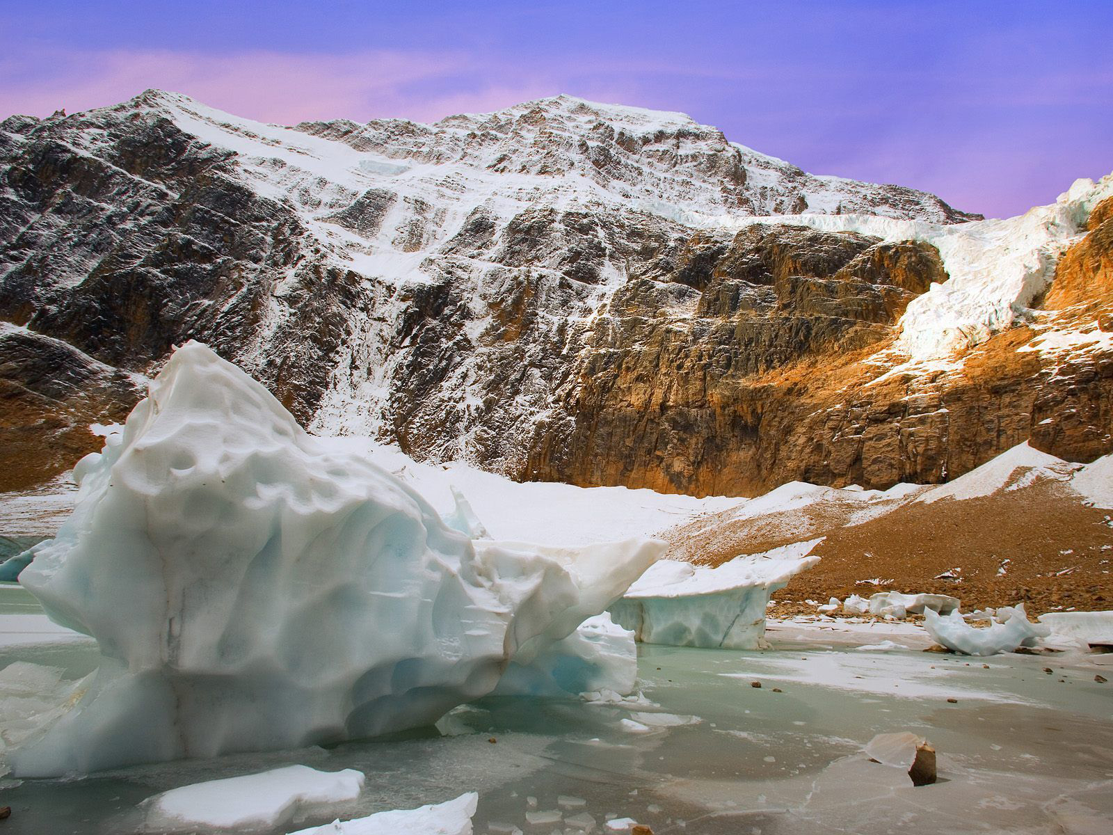
More data from small and intermediate-sized valley glaciers would help to reveal whether Athabasca Glacier is anomalously thick or if it is genuinely representative of the Canadian Rockies. Ice-thickness data from the Haig Glacier suggests that the latter may be true, but more studies are needed. Well-designed airborne radar ice-thickness mapping surveys would help to resolve this.
Notwithstanding the challenge of predicting an accurate volume estimate from the current data, more could be done to examine the consistency of the estimates presented here. In particular, alternatives to volume-area scaling could be explored, such as that of Farinotti et al. (2009), which involves more detailed terrain characterization.
The volume estimate should be seen as a starting point for studies that include monitoring of volume and runoff changes in future years and decades. Studies of historical glacier volume loss have already been undertaken. Through the use of Shuttle Radar Topography Mission DEM data and archived DEMs from aerial imagery, glacier surface elevation changes can be found. The change in volume is then calculated by multiplying the difference in the surface height by surface area. This approach has been used in several mountain regions, and it provides a direct measure of glacier runoff. Ongoing monitoring of this type should be undertaken through LIDAR surveys (airborne laser profiling) of key icefields and glaciers, to provide volume-change estimates that can be tested against discharge records and provide empirical insight into regional trends.
Based on the regional mass balance model, we estimate recent (2000-2007) glacier runoff from the eastern slopes to be 0.62 (± 0.09) km3, equivalent to 3% to 4% of mean annual discharge and 7% to 8% of late summer (July to September) runoff in the North Saskatchewan and Bow Rivers in Edmonton and Calgary.
Future projections of the glacier cover on the eastern slopes, including a simple model of glacier dynamics, provide estimates of how glacier volume and runoff may change in the coming decades. If climate stabilizes such that mass balance rates like those of the 2000’s persist through the 21st century, about 40% of the glacier ice in the Rocky Mountains will disappear this century. If climate change continues as per the projections from climate scenarios, we estimate an 80% to 90% decrease in glacier volume by the end of the century.
Our models of regional glacier mass balance and glacier dynamics are simple, so we consider this to be a first-order, initial forecast for the 21st-century evolution of glaciers in the Rockies. Our model neglects the detailed topographic situation, climatology, and controls of mass balance for individual glaciers. More sophisticated, spatially-explicit models of glacier mass balance and ice dynamics should be developed and applied for improved, physically-based forecasts.
Download
Alberta Glacier Inventory and Ice Volume Estimation (3.49 MB)